Sunday, September 14, 2014

Kamanbaneng Sagada: Finding Marlboro Hill, the Sun, Grazing Cows and Wild Horses in the Mist

Sagada Kamanbeng Marlboro Hills Grazing Cows at Sunrise
Cows in the mist on Komanbaneng Peak
Another day, another town, another early start. 4am on a Monday found us sloshing through wet grass and muddy trails headed up Kamanbaneng, one of the highest peaks in Alab. Hamlin, the strappy dog of Rock Farm Inn where we were staying kept us company for a while but decided to return to the inn through a gate in the woods. We've seen the spectacular sunrise in Kofafey in Maligcong days earlier. Would we be twice lucky to witness the same on a different peak given the moody weather lately? 

Funny but the original plan was to head to the Kiltepan view deck anew for a no-frills, just chilling-out sunrise experience though we knew the "privatization" and fencing of the road leading to Tekeng peak could become a complication.  A trip to the SaGGaS (Sagada Genuine Guides Association) headquarters on our first afternoon back in Sagada and talking to loquacious guide, Yakie, convinced us to try an off-the-beaten track, 18 kilometer circuit not yet popular with visitors.   The circuit commences with a hike up Kamanbaneng Peak, moving southwards to Kaman-utek (Blue Soil hill), then southwest to Balangagan Cave in Suyo, before heading back to the town on the road passing through Sumaging
Sagada Marlboro Hills Fog Play II
Panoramic foggy view
The sobriquet given to Kamanbaneng (Marlboro Hill) hews closely to that given by the Ivatans of Batanes to Racuh Apayaman (Marlboro Country). The similarities are but obvious -- the rolling terrain and the wonderful view still to be unveiled.  But at approximately 5100 feet above sea level, Sagada's Marlboro Hill is a lot closer to the clouds with no sea in sight save for a sea of clouds. In the early morning, low-lying clouds hide much of everything like a huge drape that goes a full 360 degrees, obscuring even the highest mountains like Calauitan in Sabangan.  Talk about walking not on but through the clouds, like being roused from sleep but still remaining in a dream. 

We've been caught up in shooting and admiring the surreal landscape that we didn't notice their coming -- cows emerging stealthily from the mist to graze. Unbeknownst to us, they were later joined by three wild horses as pointed out by our guide, Garreth. When the morning sun unmasked the surroundings, it was breathtaking to see the mountains of Bontoc, the distant terraces below, and more cows grazing on the limestone cliffs.   Garreth gleefully shares that more and more of the pine trees have grown from the days of their youth though at the expense of the grass formerly used by the locals as roof thatching material. Maybe that helps explain the popularity of using GI sheets, a poor insulator though durable material for roofing in these parts.
Sagada-Kaipitan-Watering-Hole-II
Kaipitan, a gateway to the limestone cliffs and watering hole for grazing cows
After close to three hours on Kamanbaneng, we headed southwest passing through what looked like cairns of low-lying limestone formations and more rolling hills now completely revealed by the fog. An hour or so later, we were greeted by the sight of a limestone hill in Kaipitan with a reflecting pool at the bottom -- watering hole for the grazing cows. Like in Maligcong, the morning stillness was broken by the whirring of a chainsaw just a few meters from where we took a water break.  In fact, we passed through several areas where pine wood were cut into boards ready for picking.  As my friend, Norbel, noted it's tricky to find that delicate balance between conservation and making a living.   
Sagada-Blue-Rolling-Hills-VIII
Kaman-utek or Blue Soil blue hill under a cloudy blue sky
It was nearly noon when we spotted what the map says is Kaman-utek or Blue Soil, mounds of soil rendered a bluish tint. The sight reminded us a bit of Kapurpurawan in Ilocos Norte; the former a phenomenon caused by copper siltation, the latter a formation carved by the wind and seawater. The sun was way too high for really good captures but we were held captive by the sight of pitcher plants growing in multitude at the base of the mounds. We descended to a road construction site, what Garreth said was going to be a shortcut/alternative road going to Baguio should the traditional route be blocked or rendered impassable.  
Sagada Balangagan Cave II
Entrance to Balangagan Cave
By the time we made a descent to Balangagan Cave, my right knee was painful with every step going down. A miscalculated landing earlier in the day compounded by Merrell sandals torn in two by thick mud (repaired by Garreth no less using his trusty Swiss knife) was causing me to hobble. Famished and in pain, I wasn't able to fully appreciate the cave, formerly known as Imelda Cave after the former First Lady. Maybe next time, I'll come back to shoot it in better light. We took a shortcut back to the road where we called for the Rock Inn van to fetch us, abbreviating our circuit short of six kilometers. Oh well.  That's what you get for hiking a bit more strenuously than I should, after 6-7 months of zero hiking activity.
Sagada Rock Inn Hamlin Lying Down
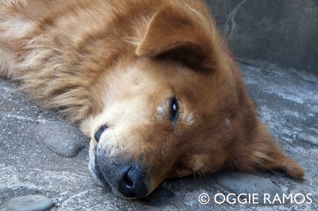
Sleepy Hamlin roused by Og
Back at the Rock Farm Inn, we were greeted by Hamlin who retreated to the farm after coming with us for a distance at 4am. Smart dog for missing out on the muddy, slippery hike.  I wouldn't want to miss the cows and wild horses though at Kamanbaneng any day, mud and all.

Info: We were privileged to have Garreth, head of Sagada Genuine Guides Association (SaGGAs), along with Yakie, as our guides for our Kamanbaneng - Kaman-utek- Balangagan adventure. You may reach him via mobile 0929-5569553 or head to the SaGGAs office along the main road in the poblacion.

LinkWithin

Related Posts with Thumbnails